
Home / Products
Products
Tools that the laboratory develops and keeps openly available to researchers, students and people who live in the region.
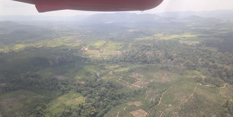
Photo: ESA, CarbonARA project
Web application
AmaView
The Amazon seen from satellite, in near real time.
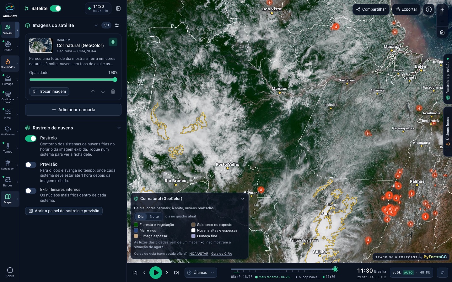
AmaView brings together GOES-19 satellite imagery and Inpe fire hotspots over the Legal Amazon on a single map. It runs in the browser, with no installation or registration.
It was developed by Professor Helvecio Bezerra Leal Neto.
What you can see
Map layers
- Satellite imageryGOES-19 in natural colour and other channels, with an animation of the last few hours.
- Fires and smokeHotspots detected by Inpe and smoke visible in the imagery.
- Cloud trackingOutlines of cold cloud systems and a forecast of where each one should be up to an hour later, produced with pyForTraCC.
- Radar and rainfallWeather radar and rain gauge layers.
- Air quality and weatherAir quality, weather conditions and sounding layers.
- RiversRiver levels and vessel tracking.
Images can be shared via a link or exported. Satellite data come from NOAA and fire hotspots from Inpe.