
Home / Projects
Radiosonde tracking
We follow the radiosondes launched in Santarém from the moment they rise until the point where they come down.
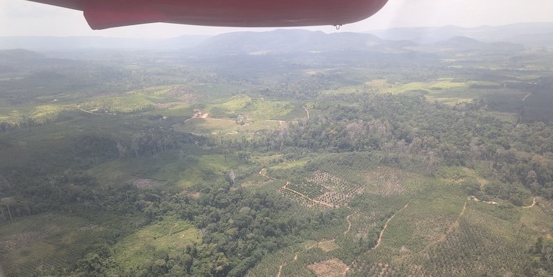
Photo: ESA, CarbonARA project
The project
The atmospheric profile, on the way up and on the way down
A radiosonde is a small set of sensors attached to a balloon. As it rises, it measures temperature, humidity and pressure and transmits the data by radio, together with its GPS position, from which the wind is calculated. When the balloon bursts, the sonde falls and keeps transmitting until it is close to the ground.
Knowing the vertical profile of the atmosphere is essential for accurate and reliable weather forecasts. In Santarém, routine soundings are launched from the airport twice a day, at 9 am and 9 pm local time.
The laboratory operates an acquisition system that receives the sondes' signal by telemetry throughout the flight. This gives access to high-resolution data, including descent data, which are normally discarded, and makes it possible to follow the sonde's trajectory so it can be located and recovered after it lands.
Objectives
What we want to answer
The general objective is to validate high-resolution radiosonde profiles, especially descent profiles, and to characterise wind patterns at low, middle and high altitudes. The specific objectives are:
- to compare in detail the atmospheric profiles from the ascent and descent phases;
- to analyse the horizontal drift of the radiosondes during the flight;
- to compare the high-resolution data with interpolation from the significant levels, which is how soundings are usually distributed.
Why recover the sondes
Commercial radiosondes are designed for single use and are usually left where they fall. Because tracking gives the sonde's position up to the last moments of the flight, it is possible to go and collect it. A recovered sonde is no longer electronic waste in the forest and becomes material for study and teaching: students can open the device, understand the sensors and test how it can be reused.
Links with other projects
The vertical profiles help interpret the tower and aircraft measurements from CarbonARA, because they show the height of the air layer near the surface where gases emitted by the forest and by fires mix. They are also used to evaluate numerical weather prediction models in the region.
Source
The project details are on the SIGAA/Ufopa public research projects portal, under the title "Análise dos perfis verticais atmosféricos e rastreamento de radiossondagens em alta resolução no Oeste do Pará" (Analysis of vertical atmospheric profiles and high-resolution radiosonde tracking in western Pará).